Description of the test area
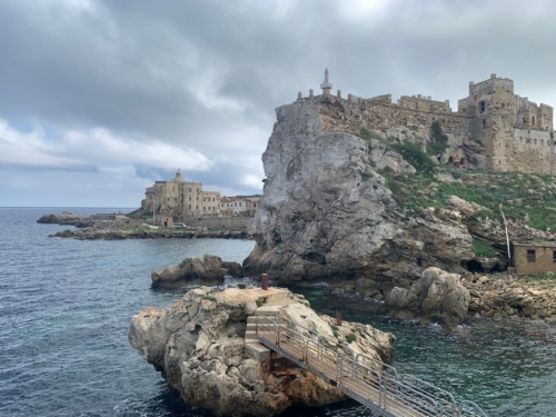
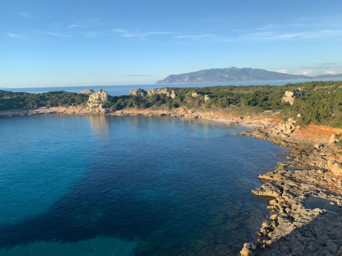
The survey area is located on the Island of Pianosa, the fifth largest island (10 km2) of the Tuscan Archipelago in the Tyrrhenian Sea. Frequented since prehistoric times, continuing in Roman times, it became an agricultural penal colony in 1850. From 1920 until 1996 with the various profiles of penal colony, the island’s population fluctuated between 1000 and 2000 people. At present, the island is not a penal colony but an extension of the Porto Azzurro (Elba Island) Reclusion Home, and the number of permanent residents is less than 50, to which the summer tourist flow is added.
Pianosa Island was selected as a test site due to its rich geological and hydrogeological data, the availability of previous geophysical studies, its strategic geographical location, and favorable logistical conditions—including facilities owned by the CNR. The sites of interest for geophysical measurements are located close to the coastal areas and in the central areas of the island where the various wells are located.
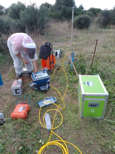
The experimental phase started in October 2024, with initial measurements carried out in accordance with a predefined geophysical investigation strategy.
During this phase, over 3.5 kilometers of geoelectrical data were collected, incorporating surface-based measurements, pseudo-3D imaging, and combined land-marine acquisitions. To support a comprehensive data integration approach, additional surveys—including ground-penetrating radar (georadar) and electromagnetic measurements—were conducted within the same area