Electrical methods, particularly electrical resistivity techniques, gained popularity in the 1970s and saw significant advancement in the 1990s with the rise of computational power and portable imaging technology. These developments enabled the use of instruments capable of managing numerous electrodes simultaneously (Binley and Slater, 2020).
Vertical Electrical Soundings (VES) represent traditional 1D surveys that measure resistivity at varying depths using at least four electrodes spaced at different intervals.
Modern approaches use multi-electrode systems and multicore cables to collect resistivity data along profiles, enabling Electrical Resistivity Tomography (ERT).
ERT provides 2D images of subsurface resistivity and is widely used in both terrestrial and marine environments. Arrays of 48 or more electrodes are commonly deployed and controlled through a central unit, allowing flexible configurations to enhance data quality. Multiscale approaches can further improve model resolution (e.g., Romano et al., 2023). 3D geoelectrical surveys extend the 2D approach by covering entire areas, requiring more electrodes, cables, and computational resources—making them less practical. Instead, a more feasible quasi-3D approach involves acquiring multiple 2D profiles in different orientations and processing them with 3D inversion algorithms (e.g., Cheng et al., 2019; Romano et al., 2023).
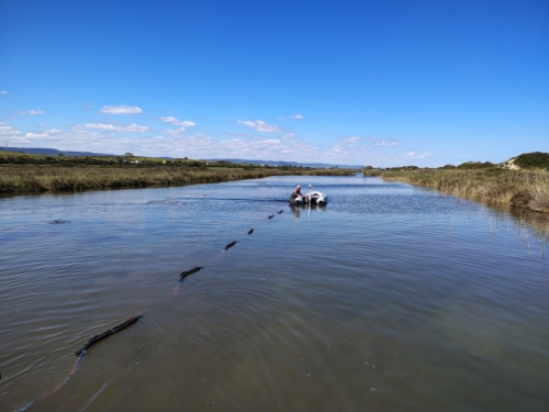
While primarily used for land surveys, ERT is also effective in water-covered environments such as lakes, rivers, and coastal areas (e.g., Tassis et al., 2020; Orlando, 2013). It helps reconstruct subsurface structures and detect seawater intrusion by providing insights into water content, pore water conductivity, porosity, and stratigraphy (McLachlan et al., 2017).
ERT is particularly valuable in coastal zones, offering continuous subsurface information across the shoreline—extending from land into shallow marine areas to depths of several tens of meters.
Challenges include relatively low resolution and the complexity of interpreting resistivity values, which are influenced by multiple factors. These limitations can be mitigated by integrating ERT data with other sources such as borehole logs or different geophysical techniques.